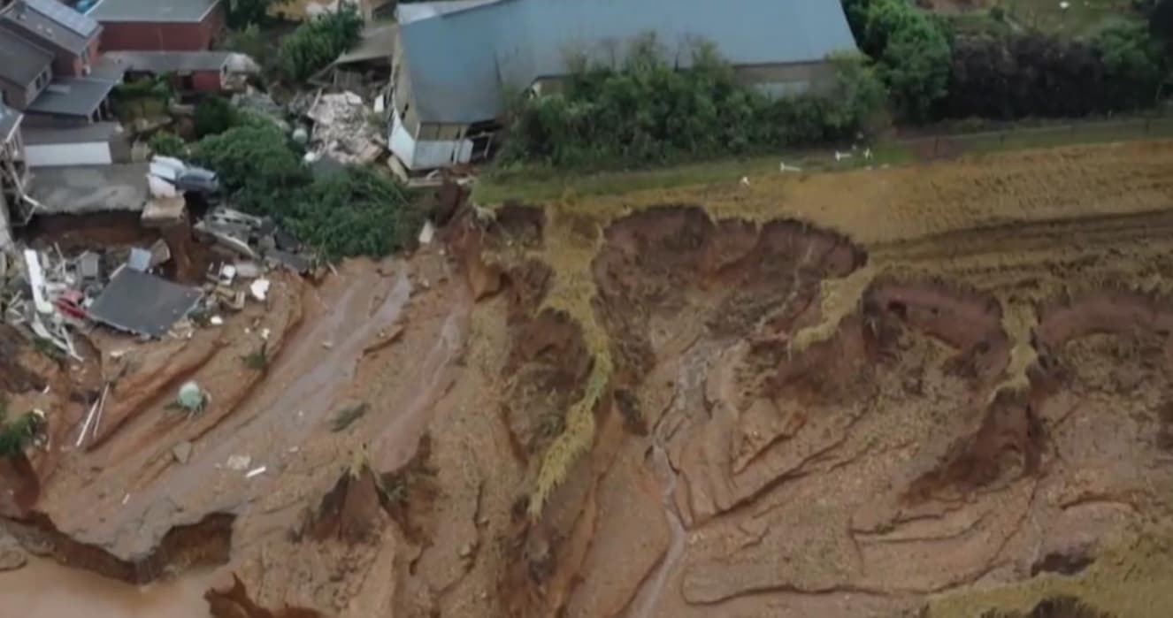
Recent events, including the floods in central Europe in May 2021, have highlighted how climate change is giving rise to scenarios that were neither foreseen nor predictable. One problem this poses is the need to rethink the logic of various environmental constraints that are often based on return times of 20-50 years or 100-200.
A single event does not change the statistical expectations for the recurrence of the event itself, but the recurrence of several extraordinary events in a few years is a clear indication of a changing trend.
The prevention of the effects of such events is based on the definition of the areas at greater or lesser risk specifically based on the return times of the exceptional events, so it is foreseeable that a series of territorial plans, mostly carried out a few decades ago, will have to be updated or re-executed from scratch.
These reworkings will be able to take advantage of the open-source software and open spatial data that have become available in the meantime, facilitating the entire process, and making it more open and shareable. In this paper we tested on a real case (the May 1999 pyroclastic flows in Campania, southern Italy) the actual possibility of implementing a model for forecasting such events using only open-source software and open data.
It has been demonstrated that the entire process can be carried out using only open-source resources and it has been verified that the predictions of the hazard and risk model obtained with only input data prior to the event, give an output prediction that is significantly coincident with the events that actually occurred as documented by the authorities.