By Laura Coco, Debora Macrini, Tommaso Piacentini and Marcello Buccolini
Abstract
Landslide susceptibility is one of the main topics of geomorphological risk studies. Unfortunately, many of these studies applied an exclusively statistical approach with little coherence with the geomorphodynamic models, resulting in susceptibility maps that are difficult to read. Even if many different models have been developed, those based on statistical techniques applied to slope units (SUs) are among the most promising. SU segmentation divides terrain into homogenous domains and approximates the morphodynamic response of the slope to landslides.
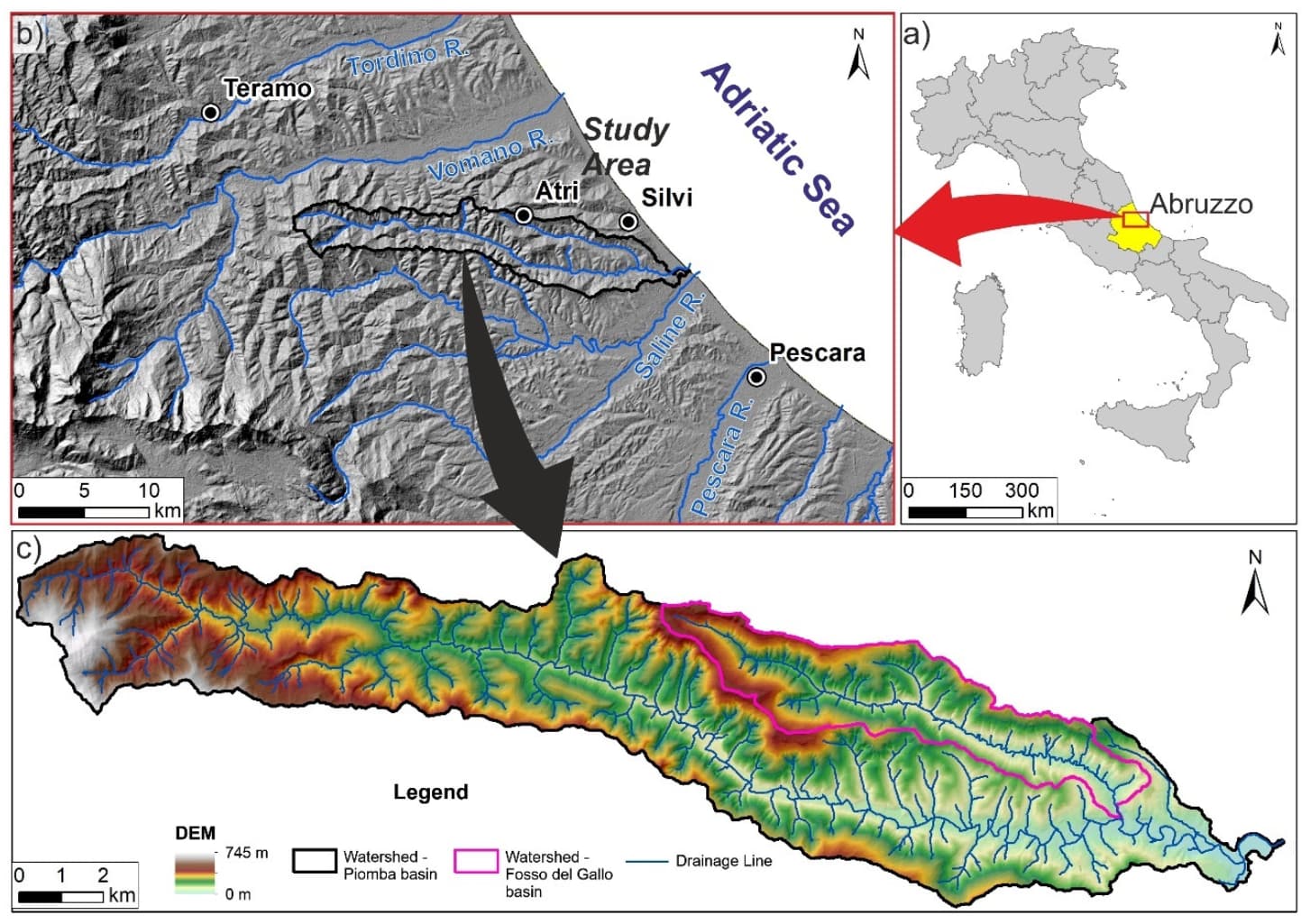
This paper presents a landslide susceptibility (LS) analysis at the catchment scale for a key area based on the comparison of two GIS-based bivariate statistical methods using the landslide index (LI) approach. A new simple and reproducible method for delineating SUs is defined with an original GIS-based terrain segmentation based on hydrography.
For the first time, the morphometric slope index (MSI) was tested as a predisposing factor for landslides. Beyond the purely statistic values, the susceptibility maps obtained have strong geomorphological significance and highlight the areas with the greatest propensity to landslides. We demonstrate the efficiency of the SU segmentation method and the potential of the proposed statistical methods to perform landslide susceptibility mapping (LSM).
Keywords: landslide susceptibility, GIS, geo-statistics, landslide hazard, conditioning factors selection, DEM, geomorphometry, slope units, landslide susceptibility index, ROC curves.